Methods and Study Area
|
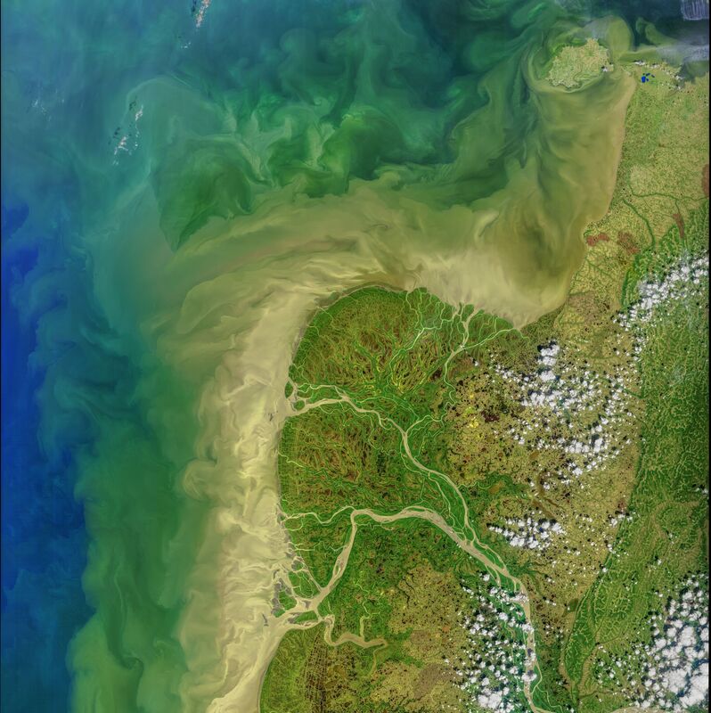
The Arctic Rivers Carbon Cycle Project integrates new and existing field datasets, process experiments, and satellite observations with a novel ecosystem model to improve quantitative and predictive understanding of the coupled physical-biogeochemical processes that transform organic and inorganic carbon as it moves from the Alaskan terrestrial landscape to the Yukon River, delta, plume and adjacent northern Bering Sea.
Incorporating strong collaborations with indigenous Alaskan communities, Alaska Department of Fish and Game, and NOAA Alaska Fisheries Science Center, the project combines existing datasets with process experiments, ongoing oceanographic research surveys, and targeted new measurements encompassing aquatic, soil, sediment and terrestrial vegetation endmembers. Remote sensing and modeling efforts will inform the location and timing of new field measurements. Satellite and field data improve model parameterizations and enable hindcasting, scenario testing, and scaling of processes in time and space, thus reducing uncertainty in model predictions of carbon cycles in a changing climate. Measurements are being collected from the Yukon River-Norton Sound continuum, across different years and seasons (completed surveys in: August-September 2018, May-June 2019, May-June 2022, August 2022), including during the spring freshet, when over two thirds of the entire annual dissolved organic carbon (DOC) export from Arctic Rivers occurs. |

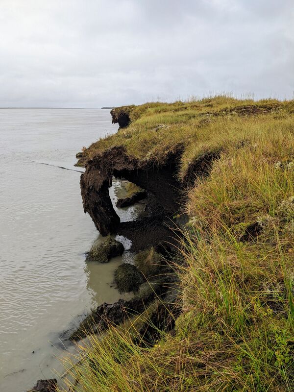
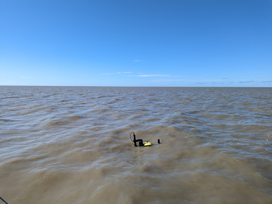
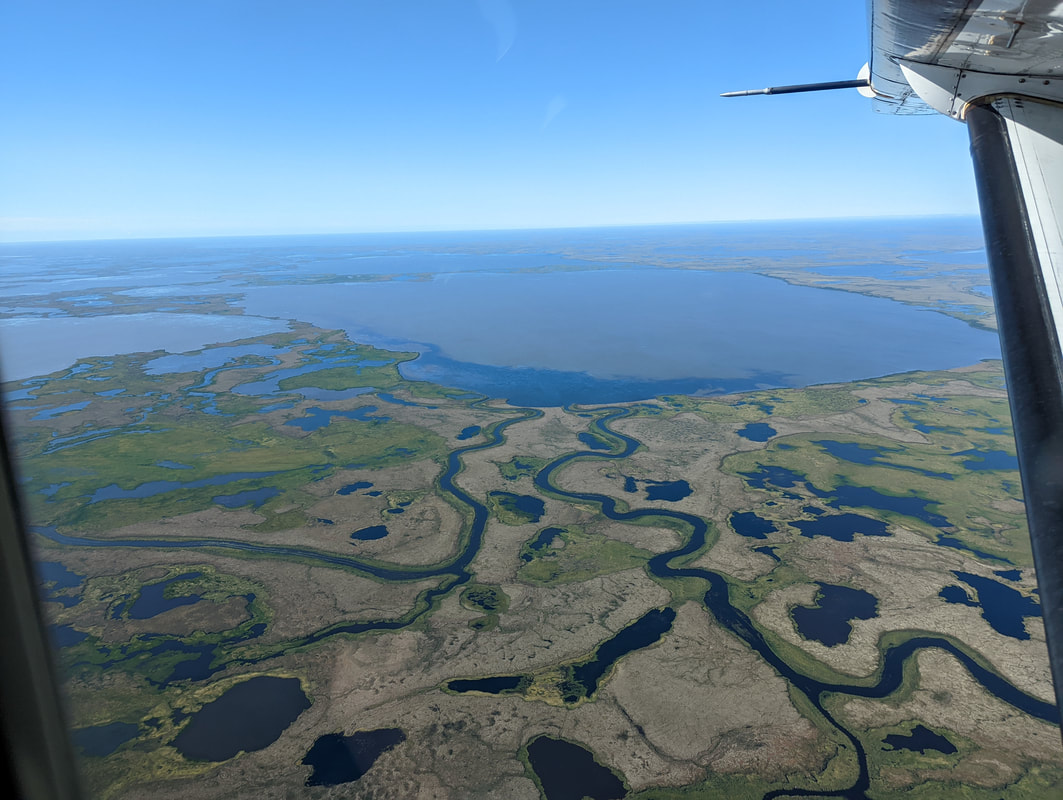
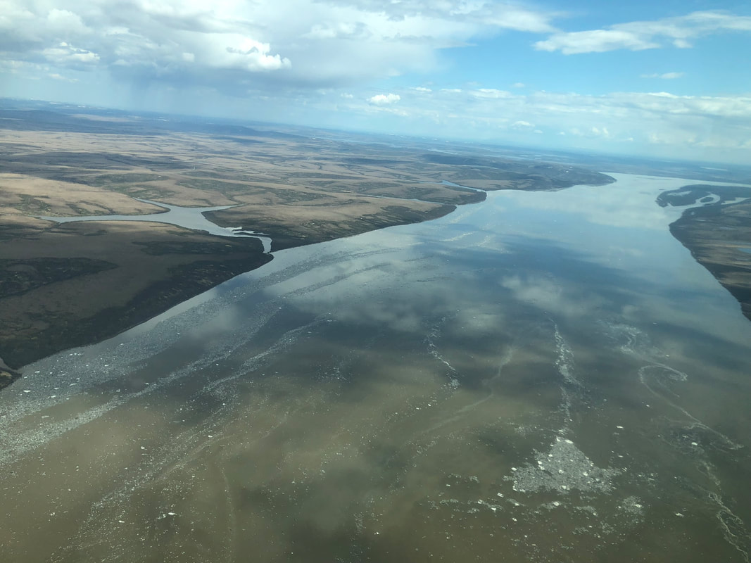
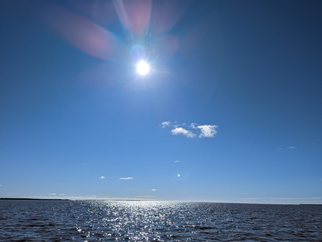
Photos Credit: Maria Tzortziou, Alyssa Burns, Blake Clark
Header Video Credit: Brice Grunert
|
|
|
|

|

|

|
|
|